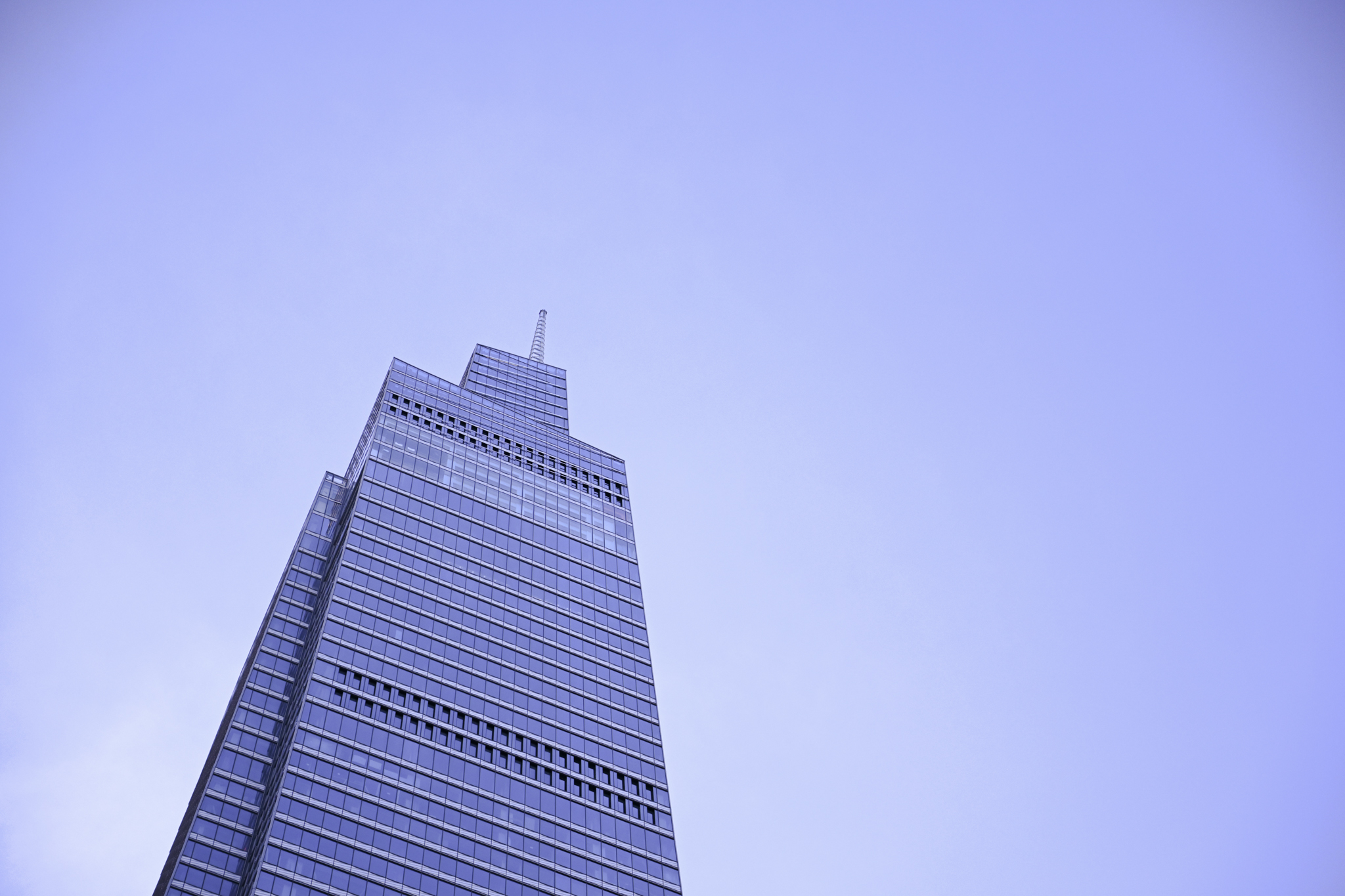
I saw a post on a forum the other day of an architect who sent a marked-up drawing as part of a CAD to BIM project. It was a relatively small structure that was being modeled. Maybe 1500 square feet. This got me thinking, why did they not just bother to go out and scan the structure? Laser scanning 10 years ago may have seemed exotic. Today it’s commonplace enough that I have a small lidar scanner in my phone. I use it to measure things in my house or create simple 3d models.
Maybe the architect in question was simply unfamiliar with reality capture technology, so I decided to write this post explaining the concept for those new to this way of working. Before you jump in, it’s essential to understand two key concepts: Point Clouds and Survey Points are central to working with BIM (no wonder why reality capture services are so important to us). If you are just getting familiar with reality capture technology this is an essential concept to understand.
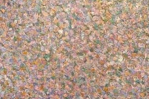
Let’s start with Point Clouds. Before we discuss the technical aspect, let’s take a minute to look at a painting technique from the 1800s. Georges Seurat and Paul Signac developed pointillism, which uses many small dots to form an image. Looking at the image up close reveals a simple texture, when you zoom out, however, your brain deciphers the image the painter sought to capture.
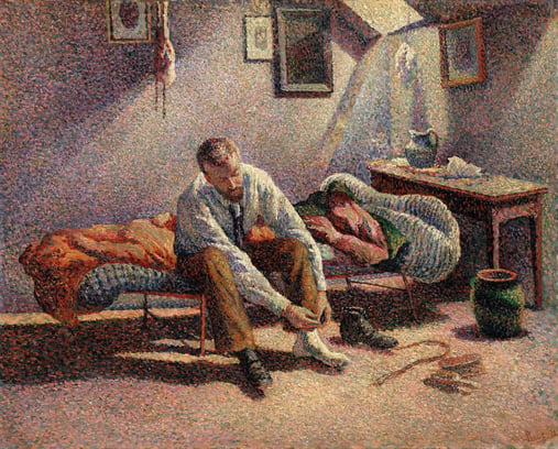
By Maximilien Luce - Metropolitan Museum of Art, Public Domain, https://commons.wikimedia.org/w/index.php?curid=17870580
Point clouds are a similar concept, only used to create a 3d representation of space rather than a painting. Spacial collections of millions of points positioned with three dimensions in space document your space with millimeter precision. Another way of thinking about them if you are more mathematical than artistic is as a group of data points defined by a given coordinate system.
In a 3D coordinate system, point clouds can define the shape of a physical object or system. Therefore, they are often used to create 3D meshes or models used in design disciplines such as architecture, interior design, or engineering.
How can you obtain point clouds?
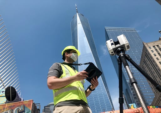
Photogrammetry and laser scanning are the most common methods used to generate point clouds. The first one allows you to survey and measure an area or object by using photographs taken (for instance) by a special drone or cameras. The latter are most commonly captured with LIDAR or laser scanners, a bigger version of the scanning tech you can find in an iPhone. With professional equipment, scanners provide millimeter-level precision capturing reflected light in each direction, producing millions of points in just a few minutes.
Using point clouds in your projects not only leads to time and cost savings compared to traditional measurement methodology but also improves accuracy and reduces errors. You are then set to leverage the point cloud into a 3D mesh or NURBS, CAD, or Revit models.
What about Survey Points?
Once you’ve translated a point cloud to a Revit model, it’s time to talk about survey points. They represent a point in the physical world, which provides your future model’s geometry with the possibility to be oriented in a different coordinate system. In order to use them, you must first define them. How? By determining a location’s coordinates. Remember, these can’t be deleted, only moved.
Are you ready?
It doesn’t require specialist equipment or knowledge to start leveraging this technique in your workflow. While we have a handful of scanners and specialists measuring structures on the ground every day, you can outsource this part of your work instead of investing in capital equipment. Daily scanning rates are a fraction of the cost of a scanner, and our professional team does this every day so is prepared to get in and out. Want to learn more? Schedule a meeting with me or one of my colleagues to discuss your needs!